Guides
How Australian emergency data actually works
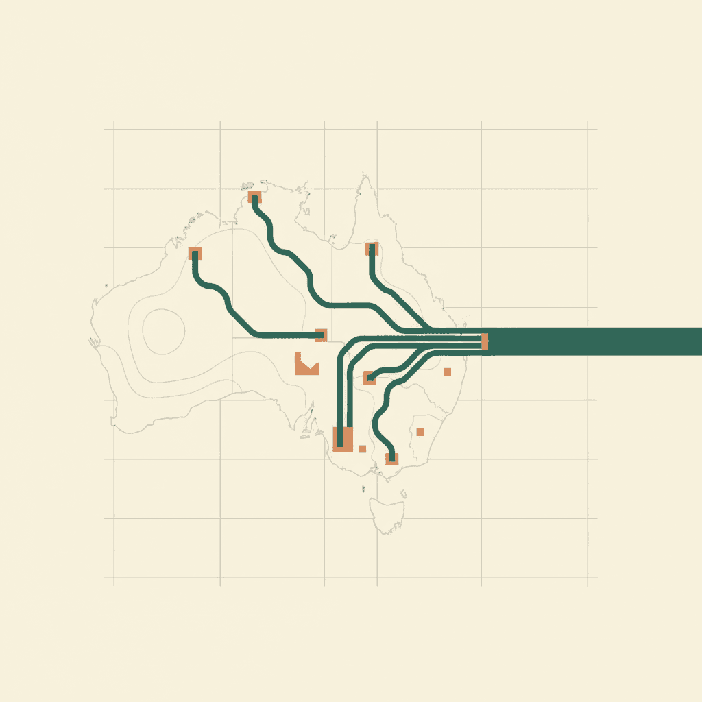
34 feeds, eight jurisdictions, and no two of them agree on what a timestamp is. These guides document what each source publishes, where it breaks, and how to build on it, whether you use our API or wire the feeds up yourself.
Guides and tutorials
Bushfire Season 2026-27 Preparation Guide
Warnings, apps, fire danger ratings, satellite detection. How to stay informed this bushfire season.
What is EmergencyAPI?
How the API works, what you get, who uses it. The full overview.
Australian Disaster Declarations Explained
Who declares natural disasters in Australia, how DRFA funding differs from a state declaration, and how to check status by postcode.
River Gauges API
Live water levels from every state joined to BoM flood classifications. Flood status by LGA, reading history, threshold queries.
Understanding Flood Classifications
What minor, moderate, and major flood levels mean, who sets them per gauge, and why raw river heights are not comparable.
Australian Emergency Data Feeds
Every government feed mapped by state. URLs, formats, update intervals, and gotchas.
Incident Details Fields by Feed
The agency-specific details object per feed: resources, units, official source links, dispatch IDs and more, with types and meanings.
Python Quickstart
Fetch, filter, and paginate Australian emergency data with Python in 5 minutes.
Build a Bushfire Map with Leaflet
Step-by-step tutorial. One HTML file, 15 minutes, real-time markers on a map.
Fires Near Me Alternatives
Programmatic access to Australian bushfire data. Compare your options.
CAP-AU Developer Guide
What is CAP-AU? How Australia's emergency alert standard works and how to consume it.
Emergency Management Software: 2026 Landscape
Every platform, app, government data source, and API in the Australian emergency space mapped.
EM-DAT Schema Mapping
How our historical archive aligns with EM-DAT, GLIDE numbers, Sendai Framework, and international disaster data standards.
Home Assistant Integration
Real-time Australian emergency alerts on your dashboard. Map pins, automations, and polygon fire boundaries.
Feed guides by jurisdiction
What each state and territory publishes, in what format, and the trap in each one.